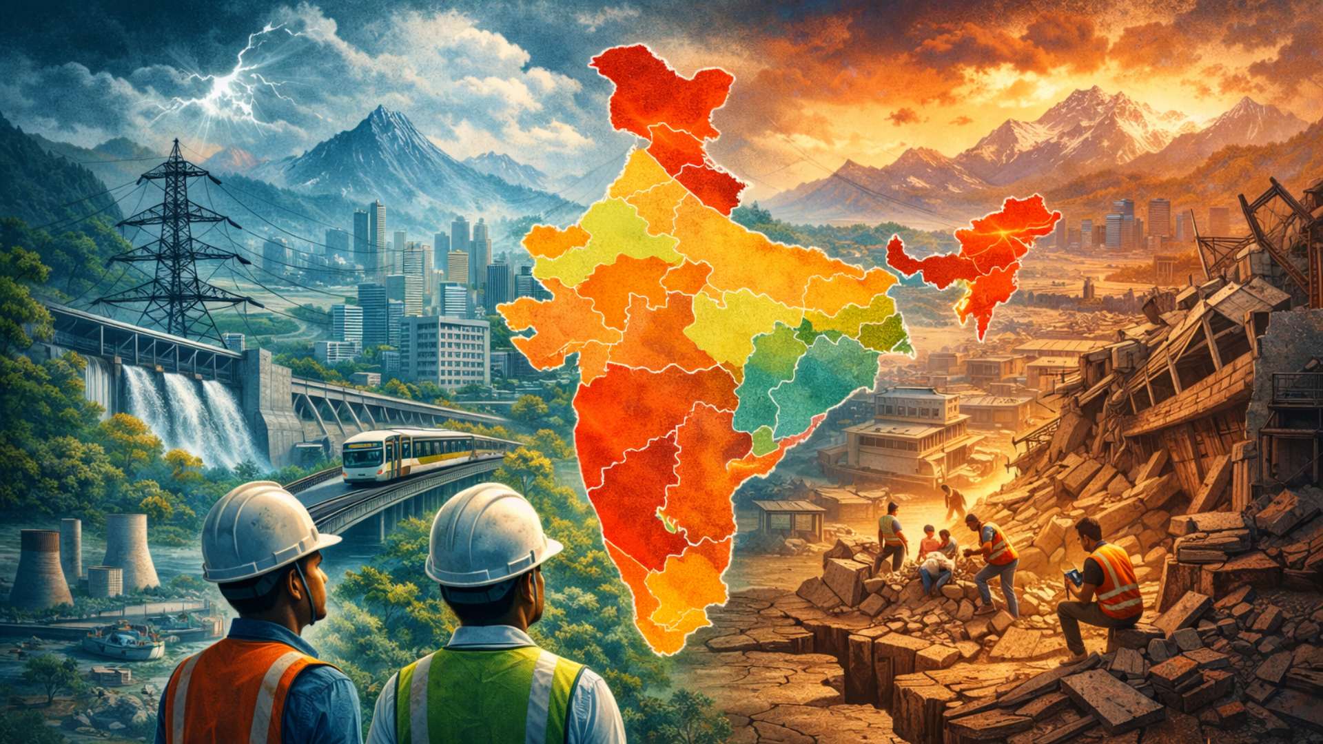
Earthquake Zoning in India
Background
India recently witnessed a debate over the revision of earthquake zoning rules proposed by the Bureau of Indian Standards (BIS). The Central government eventually rolled back the revision after concerns were raised about the scientific methodology and its practical implications.
This issue is important because earthquake zoning directly affects urban planning, infrastructure development, disaster preparedness, and climate resilience. As India expands its urban infrastructure rapidly, designing buildings and public infrastructure capable of withstanding earthquakes has become increasingly critical.
Importance of Earthquake Zoning
Earthquake zoning divides regions into categories based on the expected intensity of earthquakes. These zones guide engineers and planners in designing earthquake-resistant structures.
A correct zoning framework is crucial for:
- Designing safe buildings and infrastructure
- Planning cities and urban expansion
- Protecting critical infrastructure such as dams, highways, and power plants
- Improving disaster preparedness
- Ensuring long-term climate and infrastructure resilience
With India's rapid urbanisation and infrastructure growth, the accuracy of earthquake zoning has become more significant than ever.
The Core Scientific Debate
The central issue in the debate concerns how earthquake risks should be scientifically assessed.
Globally, most advanced economies and earthquake-prone regions now rely on Probabilistic Seismic Hazard Assessment (PSHA).
PSHA works by:
- Using probability-based simulations
- Estimating possible earthquake occurrences
- Predicting ground motion intensity over time
This approach recognises that earthquakes occur randomly and with varying intensities, so risk must be assessed through probabilistic modelling rather than fixed categories.
India, however, has traditionally relied on a simpler fixed zoning model, which divides regions into predefined seismic zones.
The BIS proposal attempted to move India toward PSHA-based zoning, aligning the country with global scientific standards.
Proposed Changes in the Zoning Framework
The revised BIS framework, notified in November 2025, proposed significant changes.
One of the most important changes was the introduction of a new highest-risk category — Zone VI.
This zone was expected to include:
- Most of Kashmir
- Parts of the Himalayan belt
- Kutch region in Gujarat
- Several areas in north-east India
These regions are already known for high seismic vulnerability, and the new classification aimed to ensure stronger building standards and disaster preparedness.
Concerns Raised by Stakeholders
Despite the scientific reasoning, the revised framework faced strong opposition from several groups.
Structural engineers and policymakers argued that the revisions were excessively stringent and could have serious economic consequences.
The concerns included:
- Higher construction costs
- Slower infrastructure development
- Increased housing affordability challenges
Estimated cost impacts were significant.
- Moving one zone higher could increase construction costs by about 20%.
- Moving two zones higher could increase costs by nearly one-third.
For large infrastructure projects such as:
- metro rail systems
- dams
- power stations
the financial impact could be even greater because these structures require very strict safety standards.
Urban Planning Challenges
Urban planners also raised concerns about the developmental consequences of stricter zoning.
Many high-risk regions, such as parts of the Himalayas and the north-east, are economically fragile. If stricter construction rules significantly increase building costs:
- Developers may hesitate to invest.
- Infrastructure projects may slow down.
- Housing supply could decrease.
Another serious concern relates to informal housing.
In India:
- Nearly 80% of homes are built informally.
If earthquake-resistant construction becomes too expensive, people may bypass regulations and construct unsafe buildings, which could actually increase disaster vulnerability instead of reducing it.
Institutional Pushback
The BIS revisions received opposition from several important government bodies and institutions.
These included:
- Ministry of Housing and Urban Affairs
- Ministry of Home Affairs
- Central Water Commission
- National Dam Safety Authority
- Private sector stakeholders in infrastructure and construction
Their concerns largely focused on implementation challenges, economic costs, and infrastructure feasibility.
Climate Dimension of the Debate
The debate also intersects with climate change concerns.
The construction sector in India is one of the country’s largest dispersed sources of carbon emissions. Stricter earthquake-resistant structures often require:
- More cement and steel
- More energy-intensive construction processes
This could increase the carbon footprint of infrastructure development.
Therefore, policymakers must balance three critical goals:
- Disaster resilience
- Climate mitigation
- Affordable construction
A poorly designed policy could strengthen one objective while weakening another.
Need for a Holistic Framework
While revising earthquake zoning is necessary, it must be done carefully.
A successful framework should include:
- Scientific accuracy in hazard assessment
- Consultation with multiple stakeholders
- Economic feasibility for developers and households
- Integration with climate and infrastructure policies
The process requires coordination between:
- Government ministries
- Scientific institutions
- Urban planners
- Infrastructure regulators
- Industry stakeholders
Only such a holistic and implementable approach can ensure that earthquake zoning improves safety without undermining development.
Conclusion
India’s attempt to modernise its earthquake zoning system reflects the growing need for scientifically informed disaster preparedness. However, zoning policies must also consider economic realities, infrastructure expansion, housing affordability, and climate commitments.
A balanced framework that integrates scientific risk assessment with practical implementation is essential to create safer, resilient and sustainable cities in the future.
Attribution
Original content sources and authors
Syllabus classification
How this article maps to GS papers
Main syllabus
GS1GeographyQuick Q&A
What is earthquake zoning and why is it important for disaster management and infrastructure planning in India?
The primary objective of earthquake zoning is to ensure that the built environment—such as homes, bridges, dams, power plants, and transport systems—can withstand seismic events. By assigning higher risk zones to earthquake-prone areas, the building codes require stronger materials, improved structural designs, and enhanced safety features. This approach significantly reduces loss of life and property during earthquakes. For example, regions along the Himalayan belt, the north-east, and Kutch in Gujarat are known to be seismically active due to tectonic plate movements and therefore require stricter building standards.
In the context of India’s rapid urbanisation and infrastructure expansion, earthquake zoning has gained renewed importance. Large-scale projects such as metro rail systems, highways, dams, and urban housing must incorporate seismic safety standards. If zoning is inaccurate or outdated, infrastructure may either be underprepared for earthquakes or unnecessarily expensive to construct. Therefore, an accurate zoning framework plays a crucial role in balancing disaster resilience, economic development, and sustainable urban planning.
Why has the proposed revision of India’s earthquake zoning framework generated significant debate among policymakers and engineers?
One major concern relates to the economic cost of stricter building regulations. Studies suggest that moving up by one seismic zone could increase construction costs by around 20%, while moving up two zones may raise costs by nearly one-third. For major infrastructure projects—such as dams, metro rail systems, and power stations—the financial burden could be even greater. Policymakers fear that such costs could slow down development in economically fragile regions and discourage investment.
Another concern is the potential expansion of the informal housing sector. In India, nearly 80% of homes are already built informally without strict adherence to building codes. If construction costs rise sharply due to stricter seismic norms, more households may opt for unregulated construction, thereby increasing vulnerability to disasters. This tension between scientific accuracy and practical feasibility has made the zoning revision a contentious policy issue.
How does the Probabilistic Seismic Hazard Assessment (PSHA) differ from India’s traditional earthquake zoning approach?
India’s traditional zoning model divides the country into a limited number of seismic zones based largely on past earthquake records and tectonic features. While this approach is relatively simple and easy to implement, it may not fully capture variations in local geological conditions. For instance, two locations within the same seismic zone may experience very different levels of ground shaking due to differences in soil type, fault lines, or structural vulnerabilities. PSHA addresses this limitation by incorporating site-specific data, multiple earthquake scenarios, and probability-based analysis.
Adopting PSHA could significantly improve the accuracy of seismic risk assessment in India. However, the transition also requires advanced data collection, technical expertise, and coordination between scientific institutions and policymakers. Countries like Japan and the United States already use such probabilistic frameworks to guide infrastructure design. If implemented effectively in India, PSHA could strengthen long-term disaster resilience while informing smarter urban planning.
Critically analyse the trade-offs between stricter seismic safety regulations and economic development in earthquake-prone regions.
However, stricter regulations also create immediate economic challenges. Higher safety standards often require better materials, advanced engineering techniques, and additional compliance procedures, all of which increase construction costs. In economically weaker regions such as parts of the Himalayan belt or the north-east, such costs may discourage private investment and slow down infrastructure development. For example, large projects like hydroelectric dams, metro rail systems, and highways could become significantly more expensive under stricter zoning norms.
Another critical concern is the growth of informal construction. If formal housing becomes too expensive due to regulatory requirements, many households may turn to unregulated construction practices. This could paradoxically increase vulnerability to earthquakes. Therefore, policymakers must strike a balance by combining strong safety standards with supportive measures such as subsidies, affordable housing programs, and technical assistance. A balanced approach can ensure both disaster resilience and sustainable regional development.
What are the key reasons behind the Centre’s decision to roll back the proposed earthquake zoning revision?
Another important factor was the significant cost implications associated with stricter seismic classifications. Moving regions into higher-risk zones would require stronger building standards and more expensive construction materials. Estimates suggest that construction costs could rise by around 20% for a one-zone upgrade and even higher for critical infrastructure. Several government bodies—including the Ministries of Housing and Urban Affairs and Home Affairs, as well as the Central Water Commission and the National Dam Safety Authority—expressed concerns about the financial burden and implementation challenges.
The rollback also reflects the need for broader consultation among stakeholders. Earthquake zoning affects multiple sectors, including urban development, infrastructure planning, disaster management, and environmental sustainability. Without consensus among engineers, policymakers, industry stakeholders, and regulators, implementing such a major policy shift could create confusion and inefficiencies. Therefore, the government’s decision highlights the importance of inclusive policy formulation and evidence-based decision-making in large-scale regulatory reforms.
How does earthquake zoning influence urban planning and infrastructure development? Illustrate with examples.
For example, infrastructure projects such as metro rail systems, dams, highways, and power plants require detailed seismic assessments before construction. In earthquake-prone regions like the Himalayan belt, dam construction must account for the possibility of strong ground motion to prevent catastrophic failures. Similarly, metro systems in cities like Delhi incorporate seismic-resistant technologies to ensure passenger safety during earthquakes. These design considerations are guided by seismic zoning maps and building codes developed by regulatory authorities.
Beyond safety, earthquake zoning also influences broader urban development patterns. Regions classified as high-risk may face stricter regulatory scrutiny, which can slow down construction activity or increase costs. However, these regulations also encourage long-term resilience and sustainable development. By integrating seismic risk assessments into urban planning, governments can reduce disaster vulnerability while ensuring that future infrastructure projects remain safe and durable.
Discuss the relationship between earthquake resilience, climate considerations, and sustainable construction in the context of India’s infrastructure expansion.
For instance, constructing earthquake-resistant buildings in high-risk zones may require additional layers of reinforcement, deeper foundations, and higher-quality materials. While these measures improve safety, they can also increase the environmental impact of construction. Policymakers must therefore explore innovative solutions such as low-carbon construction materials, green building technologies, and sustainable urban design. Integrating climate-conscious approaches into disaster-resilient infrastructure can help balance environmental and safety objectives.
A holistic policy framework is essential to address these interconnected challenges. This requires coordination among multiple stakeholders, including ministries responsible for housing, disaster management, water resources, and climate policy. By aligning earthquake zoning regulations with sustainable construction practices, India can build infrastructure that is not only resilient to seismic hazards but also compatible with its long-term climate mitigation and sustainable development goals.
Practice questions
2 questions for mains preparation