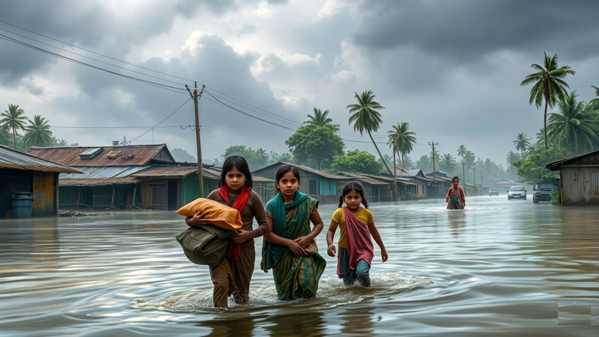
Waiting for the Storm: Understanding India's Weather Vulnerability

"The underlying risk was foreseeable, yet the vulnerability was high."
In the third week of May 2025, a violent pre-monsoon weather system swept through Uttar Pradesh — bringing thunderstorms, dust storms, lightning, heavy rain, and thundersqualls simultaneously across multiple districts. By May 14, the toll stood at 111 deaths and 72 injuries across 26 districts, making it among the deadliest weather-related disasters in the State's recent history. Warnings had been issued. Alerts had been sent. People died anyway. The question is why.
What Happened — and Why Here
The storm was driven by a pre-monsoon convective system, further intensified by a fresh western disturbance over northwest India destabilising atmospheric conditions. The winds were powerful enough to uproot trees — marking a distinction in intensity from previous years, even though UP has experienced similar events every May-June since at least 2018.
The geography explains the recurrence:
Why UP is structurally vulnerable to pre-monsoon storms:
- Convergence zone: Hot, dry 'loo' winds from the Thar Desert
  move east over the plains
- Simultaneously: Moisture-laden winds from the Bay of Bengal
  push in from the southeast
- Over the Vindhya hills (Mirzapur, Sonbhadra): Converging air
  masses lift rapidly → intense localised thunderstorms
No authority could have predicted the precise local intensity. But the underlying risk was hardly unforeseeable — it recurs at the same time, in the same geography, year after year.
The Warning System: Issued, But Did It Work?
The India Meteorological Department issued thunderstorm and lightning alerts ahead of the event. The Uttar Pradesh government reportedly sent over 34 crore red and orange alert messages via the SACHET portal.
Yet serious questions remain about the effectiveness of this warning chain:
- Were the alerts sufficiently geographically precise for communities to act?
- Did warnings reach intended beneficiaries in time?
- Critically — did they merely warn of adverse weather, or did they carry actionable instructions telling people what to do?
A warning that says "thunderstorm likely" is categorically different from one that says "move away from fragile roofs, stay indoors away from windows, avoid open fields." The gap between alert issuance and behavioural response is where lives are lost.
The Vulnerability Problem: Beyond the Weather
The storm's death toll reflects not just meteorological intensity but accumulated structural vulnerability:
- Housing: Uttar Pradesh has a large number of structurally fragile rural and peri-urban households — fragile roofs become lethal when storms strike at dusk or night when people are indoors and resting
- Infrastructure: Improperly placed or poorly installed hoardings, electrical wiring, and public signage added to casualties — a preventable category of harm
- Timing: Storms striking after dark reduce the window for people to seek shelter or respond to warnings
The State's own response revealed awareness of the risk — it announced separate relief packages differentiated by type of farming, crop, and loss. A government that has pre-designed relief categories for storm damage clearly anticipates such events. The gap between anticipating damage and preventing it is precisely where policy must intervene.
Way Forward
- Actionable last-mile alerts — Warning messages must move beyond colour-coded advisories to include specific behavioural instructions: where to go, what to avoid, how long to stay sheltered
- Geographic precision in forecasting — Alerts must be localised to district and block level, accounting for terrain-specific convective zones like the Vindhya hill convergence areas
- Structural vulnerability audit — UP must systematically map and retrofit fragile rural housing in storm-prone districts before the pre-monsoon season each year
- Hoarding and infrastructure regulation — Mandatory safety audits of public signage, hoardings, and overhead wiring in vulnerable districts before May-June each year
- Community-level preparedness — Panchayat and ward-level storm drills, shelter identification, and first-response training must be institutionalised in convergence-zone districts
- SACHET portal effectiveness review — Message delivery rates, read rates, and behavioural response must be tracked and improved, not just message volumes
Conclusion
Uttar Pradesh's pre-monsoon storms are not surprises — they are recurring events in a predictable geographic and seasonal pattern. The 111 deaths of May 2025 cannot be attributed solely to nature's fury. They reflect the distance between a warning issued and a life saved — a distance filled by fragile housing, imprecise alerts, and the absence of community-level preparedness. Disaster management in India has matured in its forecasting capacity. The next frontier is converting that forecast into action at the last mile — before the next storm arrives, as it inevitably will.
Attribution
Original content sources and authors

Syllabus classification
How this article maps to GS papers
Main syllabus
GS1GeographyQuick Q&A
What explains the increasing frequency and intensity of pre-monsoon extreme weather events in northern India, particularly in Uttar Pradesh?
The recent event demonstrates how local topography amplifies these systems. Areas such as Mirzapur and Sonbhadra, near the Vindhya hills, encourage rapid vertical uplift of warm air masses, intensifying cloud formation and storm activity. Western disturbances entering northwest India can further destabilise the atmosphere during this season.
Key drivers include:
- Convergence of contrasting wind systems
- Western disturbances during seasonal transition
- Topographic influences
- Rising atmospheric instability linked to climate change
Why did high fatalities occur despite weather warnings being issued by IMD and the SACHET portal?
Many casualties occurred due to structural vulnerability. In rural and peri-urban areas, weak housing, unsafe electrical installations, and poorly secured public hoardings increased risk. When storms struck during evening hours, many residents were indoors under fragile roofs, making them highly exposed.
Systemic gaps include:
- Generic alerts without district-specific action guidance
- Limited last-mile communication
- Poor public awareness of safety protocols
- Weak disaster-resilient infrastructure
How can early warning systems be strengthened to reduce casualties from localized severe storms?
Technology must be supported by institutional preparedness. Panchayats, local disaster teams, schools, and health centres should be integrated into response systems. Alerts should trigger predefined local actions such as shelter opening, power shutdowns, and evacuation from unsafe structures.
Improvements needed:
- Hyperlocal forecasting
- Community-based response teams
- Actionable instructions in local languages
- Real-time infrastructure monitoring
What structural vulnerabilities make certain populations more susceptible to weather-related disasters in India?
Public infrastructure also contributes to casualties. Unsafe electric poles, unregulated hoardings, and poorly maintained signage become dangerous during storms. These are governance failures rather than purely natural risks.
Main vulnerabilities:
- Poor housing quality
- Unplanned urbanisation
- Weak public infrastructure standards
- Low disaster preparedness
Critically analyse whether India’s disaster management approach is sufficiently prepared for recurrent climate-linked local disasters.
Current systems focus on emergency relief after disasters rather than reducing vulnerability beforehand. Forecasting capacity has improved, but urban planning, housing safety, and local institutional readiness remain inadequate.
Limitations include:
- Reactive rather than preventive governance
- Weak local implementation
- Poor infrastructure regulation
- Limited climate adaptation planning
As a district administrator in a storm-prone region of Uttar Pradesh, what measures would you adopt to minimise casualties during future pre-monsoon events?
Second, public infrastructure audits must be conducted before storm season. Unsafe hoardings, exposed wires, and weak utility poles should be repaired. Community volunteers should be trained in first response and rescue.
Action plan:
- Pre-season infrastructure inspections
- Village disaster committees
- Emergency shelters in schools/community halls
- Localised SMS and siren alerts
- Compensation and rapid relief systems
Practice questions
2 questions for mains preparation