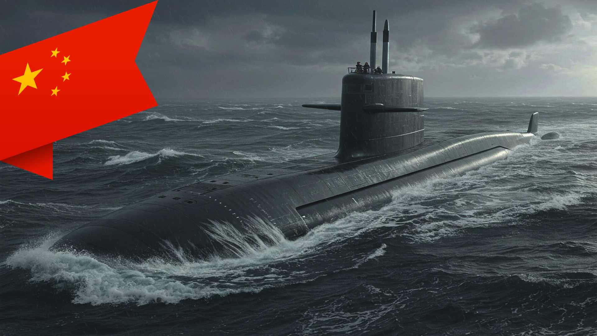
China's Ambitious Ocean Floor Mapping for Submarine Warfare

Introduction
The undersea domain is the new frontier of 21st-century great power competition. China's systematic seabed mapping across the Pacific, Indian, and Arctic oceans — disguised as civilian research — is building the operational intelligence needed for submarine warfare at global range.
| Parameter | Detail |
|---|---|
| Project name | "Transparent Ocean" |
| Launch year | ~2014 |
| Initial funding | At least $85 million |
| Vessels tracked | 42 research ships |
| Sensors deployed | Hundreds (buoys, subsea arrays) |
| Oceans covered | Pacific, Indian, Arctic |
| Data collected | Temperature, salinity, currents, subsea movement |
| Military purpose | Submarine deployment + anti-submarine warfare |
| India's exposure | Centre of China's Indian Ocean sensor network |
Key Concepts
1. Undersea Domain Awareness Knowledge of seabed topography and ocean conditions (temperature, salinity, currents) is operationally critical for submarines because sound wave propagation — the basis of sonar detection — varies with underwater terrain and water conditions. Nations with superior ocean knowledge can conceal their submarines and detect adversaries' more effectively.
2. Civil-Military Fusion China's formal policy under President Xi Jinping of integrating civilian scientific research with military capability development. Research vessels operated by universities and the Ministry of Natural Resources conduct surveys that serve both scientific and military intelligence purposes — providing plausible civilian deniability while systematically building military-relevant knowledge.
3. Blue-Water Naval Capability The ability to project naval power across deep oceans far from home waters — as opposed to green-water (coastal) or brown-water (riverine/littoral) capability. China's mapping operation signals an intent to build expeditionary submarine operations capability across the Indo-Pacific.
4. The "Transparent Ocean" Project Proposed around 2014 by Ocean University scientist Wu Lixin, this initiative aims to deploy a comprehensive sensor network giving China a continuous picture of water conditions across strategic ocean corridors. It began in the South China Sea and has expanded to the Pacific and Indian oceans.
Scale and Scope of China's Operation
| Parameter | Detail |
|---|---|
| Research vessels tracked | 42 active in Pacific, Indian, or Arctic oceans |
| Vessels conducting seabed mapping | At least 8 confirmed |
| Vessels carrying mapping-capable equipment | At least 10 additional |
| Initial funding (Transparent Ocean project) | At least $85 million (Shandong provincial govt) |
| Sensors deployed | Hundreds — buoys, subsea arrays, deep-sea sensors |
| Key operator institution | Ocean University of China, Ministry of Natural Resources, Chinese Academy of Sciences |
| Partner institution | China's Naval Submarine Academy |
| Oceans covered | Pacific, Indian, Arctic |
Strategically Targeted Locations
China's mapping is not random. It is concentrated around militarily critical points:
Pacific Ocean
- Waters east of Philippines (First Island Chain)
- Around Guam — where US nuclear submarines are stationed
- Around Hawaii — US regional military hub
- Near Wake Atoll — US military facility
- West and north of Alaska — Arctic sea route
Indian Ocean
- Sensor array ringing India and Sri Lanka
- Along the Ninety East Ridge — one of the world's longest undersea mountain ranges, astride the approach to the Malacca Strait
- Waters between Sri Lanka and Indonesia — covering Malacca Strait approaches
- Near Christmas Island (Australian territory) — on route between South China Sea and Australia's submarine base
Near Taiwan and Japan
- Repeated surveys in seas near Taiwan and Japan
- Sensors deployed in the strait between Taiwan and the Philippines — through which US submarines must transit to reach the South China Sea
The "First Island Chain" Strategic Context
China's most comprehensive surveying is east of the Philippines — the First Island Chain. This string of territories (Japanese islands → Taiwan → Borneo), largely controlled by US allies, forms a natural barrier confining China's naval access to its coastal seas.
China perceives this as strategic encirclement. Comprehensive seabed mapping of waters beyond the chain is essential for:
- Navigating submarines past the chain undetected
- Pre-positioning sensors to detect US submarine movements
- Building the operational picture needed for offensive submarine deployment in the open Pacific
India-Specific Implications
China's Indian Ocean sensor network directly encircles India:
- Sensors deployed along the Ninety East Ridge sit astride India's western maritime approaches
- The network covers approaches to the Malacca Strait — through which both Chinese oil imports and Indian trade transit
- Chinese vessels have repeatedly surveyed waters around Sri Lanka — India's immediate southern neighbour and a country where China has significant port presence (Hambantota)
- The data enables China to track Indian Navy submarine movements in the Indian Ocean — India's primary strategic maritime domain
This directly challenges India's aspiration for Indian Ocean primacy and its role as a net security provider in the region.
Key Quotes
"The scale of what they're doing is about more than just resources. If you look at the sheer extent of it, it's very clear that they intend to have an expeditionary blue-water naval capability that also is built around submarine operations." — Jennifer Parker, former Australian anti-submarine warfare officer, University of Western Australia
"For decades, the U.S. Navy could assume an asymmetric advantage in its knowledge of the ocean battlespace. China's efforts threaten to erode that advantage. It is obviously deeply concerning." — Ryan Martinson, US Naval War College
"Transform the most advanced scientific and technological achievements into new types of combat capabilities for our military at sea." — Zhou Chun, Ocean University researcher overseeing Indian and Pacific ocean sensor arrays
China's undersea surveillance networks "gather hydrographic data to optimize sonar performance and enable persistent surveillance of submarines transiting critical waterways." — Rear Admiral Mike Brookes, US Office of Naval Intelligence (Congressional testimony, 2026)
Challenges and Implications
1. Erosion of US Undersea Advantage The US Navy's strategic edge in submarine operations has historically rested on superior ocean knowledge. China's systematic mapping threatens to close this asymmetry — shifting the undersea balance of power.
2. Dual-Use Ambiguity Civil-military fusion makes it legally and diplomatically difficult to challenge Chinese research vessels operating under UNCLOS freedom of scientific research provisions — even when the data serves military purposes.
3. Threat to Indo-Pacific Allies Japan, Australia, Philippines, and India all face a China that increasingly understands the undersea environment surrounding their coasts, ports, and submarine bases.
4. UNCLOS Grey Zone International law does not clearly prohibit marine scientific research even in Exclusive Economic Zones (EEZ) of other nations, creating a legal gap that China exploits. India has contested Chinese research vessel movements in its EEZ — but enforcement remains limited.
5. India's Submarine Vulnerability India's submarine fleet — already smaller than China's — now operates in an ocean increasingly surveilled by Chinese sensors. This compresses India's subsurface strategic space precisely as it seeks to expand its undersea deterrence capability.
India's Response Options
- Accelerate the Indian Ocean Research Programme — expand India's own hydrographic and oceanographic data collection capability.
- Indo-Pacific partnerships — deepen information-sharing under QUAD frameworks; leverage US, Japanese, and Australian undersea domain awareness data.
- Challenge illegal surveys — strengthen enforcement against unauthorised foreign research vessel activity in India's EEZ under domestic law.
- Expand submarine fleet and basing — accelerate Project 75I (six additional submarines) and develop secondary submarine operating bases in the Andaman and Nicobar Islands.
- Seabed sensor deployment — develop India's own undersea monitoring network in the Indian Ocean, potentially in partnership with the US Navy's existing IUSS (Integrated Undersea Surveillance System).
Conclusion
China's undersea mapping operation is not an academic exercise — it is systematic, strategically targeted, and explicitly linked to military capability development through civil-military fusion. By building a "transparent ocean" across the Pacific, Indian, and Arctic oceans, China is constructing the intelligence foundation for next-generation submarine warfare at global range. For India, the Indian Ocean is not a peripheral concern — it is the primary theatre of its maritime security. China's encirclement of India via sensor networks from Sri Lanka to the Ninety East Ridge demands an urgent, comprehensive, and coordinated Indian response — spanning diplomacy, technology, partnerships, and naval expansion. The era of benign Indian Ocean dominance is over; the era of contested undersea competition has begun.
Attribution
Original content sources and authors


Syllabus classification
How this article maps to GS papers
Main syllabus
GS2Neighbourhood RelationsQuick Q&A
What is meant by undersea mapping and monitoring, and why is it strategically significant in modern naval warfare?
Its strategic importance lies in its direct application to submarine warfare and anti-submarine operations. Submarines rely on stealth, and their effectiveness depends on understanding underwater terrain and acoustic conditions. Key uses include:
- Navigation and concealment: Avoiding detection by exploiting underwater features
- Sonar optimization: Understanding how sound waves behave in different conditions
- Deployment of sensors and weapons: Positioning seabed infrastructure effectively
In the present context, China’s extensive mapping across the Pacific, Indian, and Arctic Oceans indicates a shift toward blue-water naval capability. This enhances its ability to operate far from its shores and challenge traditional naval dominance, particularly that of the United States. Thus, undersea data is emerging as a critical strategic asset, comparable to intelligence in land warfare.
Why is China’s large-scale ocean mapping initiative considered a strategic concern by other global powers?
Key concerns include:
- Erosion of strategic advantage: The U.S. historically enjoyed superior knowledge of the undersea domain
- Military preparedness: Data enables precise submarine navigation, concealment, and targeting
- Persistent surveillance: Sensor networks can track enemy submarine movements in real time or near-real time
Additionally, the geographical focus of these activities—near Guam, Hawaii, the Philippines, and the Indian Ocean—overlaps with critical military and trade routes. This raises fears of preparation for conflict scenarios.
The concept of civil-military fusion further intensifies these concerns. Under this approach, civilian institutions like universities and research vessels actively contribute to military objectives. This blurring of boundaries complicates international regulation and trust. Overall, China’s initiative signals a long-term ambition to reshape maritime power balances, making it a focal point of global strategic competition.
How does civil-military fusion operate in the context of China’s maritime strategy?
In practice, CMF operates through multiple channels:
- Research institutions: Universities like Ocean University conduct studies with direct military relevance
- Dual-use vessels: Research ships collect data useful for both scientific and defense purposes
- Technology transfer: Innovations in sensors, AI, and data analytics are shared with the military
For example, the deployment of underwater sensors to study climate patterns also enables submarine detection and tracking. Similarly, seabed mapping for mineral exploration can help identify strategic submarine routes.
Implications: CMF enhances efficiency and reduces costs for military expansion, but it also raises concerns about transparency and international norms. Other countries may find it difficult to distinguish between peaceful and military activities, increasing mistrust. In the long run, CMF strengthens China’s ambition to become a maritime superpower with advanced undersea warfare capabilities.
Critically analyse the concept of a ‘transparent ocean’ and its implications for global maritime security.
Advantages include:
- Enhanced environmental monitoring: Better understanding of climate change and ocean ecosystems
- Improved navigation safety: Reduced risks of maritime accidents
- Resource management: Efficient exploration of marine resources
However, the strategic downsides are significant. A transparent ocean reduces the stealth advantage of submarines, which are central to nuclear deterrence. Key concerns:
- Destabilization of deterrence: If submarines can be easily tracked, second-strike capability is weakened
- Increased surveillance: Critical sea lanes and chokepoints become constantly monitored
- Escalation risks: Greater transparency may lead to preemptive strategies in conflict
Thus, while the concept has civilian benefits, its military applications could intensify geopolitical rivalry. A balanced approach, possibly through international norms and agreements, is necessary to prevent misuse while leveraging its scientific potential.
Provide examples of strategic maritime regions targeted by China’s mapping efforts and explain their importance.
Key examples include:
- South China Sea: A contested region with vital shipping routes and rich resources
- First Island Chain (Japan–Taiwan–Philippines): Acts as a natural barrier restricting China’s naval movement into the Pacific
- Guam and Hawaii: Major U.S. military hubs in the Pacific
- Indian Ocean and Malacca Strait: Critical for China’s oil imports and trade flows
- Arctic region: Emerging as a new strategic frontier with melting ice opening shipping routes
These regions are not randomly chosen but reflect China’s broader strategic objectives. For instance, mapping near the Malacca Strait helps secure energy supply lines, while activities near Guam and Hawaii indicate preparation for potential conflict scenarios with the U.S.
Implications: Control over these regions enhances China’s ability to project power globally, safeguard its economic interests, and challenge existing maritime dominance. This targeted approach highlights the integration of geography with strategic planning.
Using the Indian Ocean Region (IOR) as a case study, analyse the implications of China’s undersea activities for India.
China’s activities in the IOR include:
- Seabed mapping along key routes like the Ninety East Ridge
- Deployment of sensor arrays near India and Sri Lanka
- Survey missions by research vessels in strategic waters
Implications for India:
- Security concerns: Increased Chinese submarine presence near Indian waters
- Strategic encirclement: Perception of a “String of Pearls” strategy
- Surveillance risks: Monitoring of Indian naval movements
India has responded by strengthening maritime partnerships (e.g., QUAD), enhancing naval capabilities, and increasing its own surveillance efforts.
Way forward: India must invest in undersea domain awareness, expand indigenous research capabilities, and deepen regional cooperation. The IOR case illustrates how technological advancements in undersea mapping are reshaping traditional notions of maritime security.
What are the reasons behind China’s push to develop a blue-water navy supported by undersea capabilities?
Key reasons include:
- Energy security: Protecting sea lanes that carry oil and resources from the Middle East and Africa
- Geopolitical competition: Countering U.S. naval dominance in the Pacific
- Breaking containment: Overcoming constraints imposed by the First Island Chain
- Global influence: Supporting overseas interests and military presence
Undersea mapping and sensor networks provide the data necessary for effective submarine deployment, enabling stealth, precision, and survivability.
Strategic implications: This shift marks China’s transition from a regional power to a global maritime actor. It also intensifies great-power competition, particularly in contested regions like the Indo-Pacific.
In essence, the development of a blue-water navy reflects China’s broader vision of becoming a comprehensive maritime power, integrating economic interests with military capabilities.
Practice questions
1 question for mains preparation